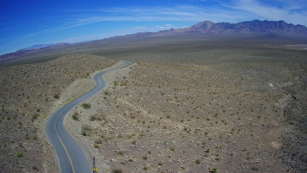
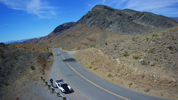
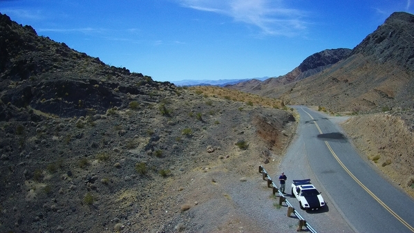
...Drone Photos. 1st, Looking East, showing The Kingston Range, and 'Old Spanish Trail' (Hwy). 2nd and 3rd, Photos are looking West. 1st Pic, Looking East at the Mountain Range in the FARTHEST Distance LEFT...Las Vegas is on the other side. We'll be crossing That mountain pass, tomorrow at Noon.  looking West from Emigrant Pass, Shoshone is Over the Next 6
 Mountain Ranges Back, We're ON the 7th Range.
PANTERA INTERNATIONAL
A DE TOMASO CAR CLUB
Presents the De Tomaso Forums
The On-Line Meeting Place for De Tomaso Owners and Enthusiasts From Around the World
Clicking on the banner will take you to the sponsor's website.


